GPS Crippled, BeiDou Takes Over: How Iran’s Satellite Pivot During the 12-Day War Exposed Western Navigation Vulnerabilities
Iran’s rapid shift from GPS to China’s BeiDou-3 satellite navigation during the June 2025 Twelve-Day War neutralised Israeli electronic warfare jamming, restoring precision strike capability and exposing structural vulnerabilities in Western satellite-dependent military doctrine.

(DEFENCE SECURITY ASIA) — The June 2025 “Twelve-Day War” revealed a structural vulnerability at the heart of modern precision warfare when intense Israeli electronic warfare operations disrupted Global Positioning System signals guiding Iranian munitions, forcing Tehran into an abrupt but transformative strategic pivot toward China’s BeiDou-3 satellite navigation architecture.
This rapid shift from GPS-dependent guidance toward BeiDou-3 navigation fundamentally altered the operational geometry of the conflict, enabling Iranian strike systems to restore targeting reliability despite aggressive Israeli jamming and spoofing efforts designed to deny positioning, navigation, and timing services across the electromagnetic battlespace.
By the conflict’s fourth day, Iranian forces had activated full BeiDou-3 integration across drones, cruise missiles, and ballistic weapons, a move that effectively bypassed Israel’s long-established electronic denial strategies while signalling a broader geopolitical shift toward space-enabled warfare architectures shaped by Chinese satellite infrastructure.
The short but intense conflict began on June 5, 2025, after Israeli strikes targeted Iranian-backed militia networks in Syria and Lebanon, prompting Tehran to launch a coordinated retaliation involving drones, cruise missiles, and ballistic missiles directed against Israeli airfields, command facilities, and Mediterranean naval assets.
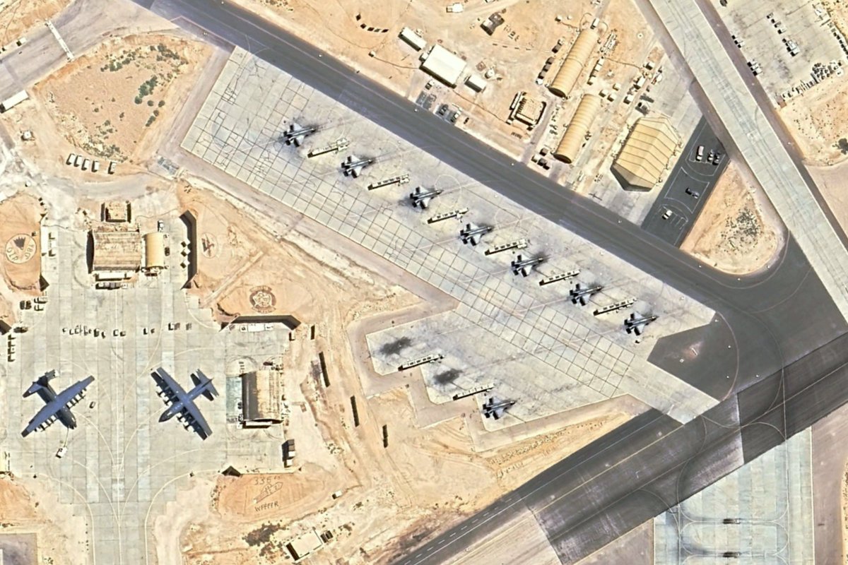
Israel’s defensive architecture—anchored by the Iron Dome short-range interceptor network, the David’s Sling medium-range system, and the Arrow ballistic missile shield—intercepted a substantial proportion of incoming weapons, yet the operational narrative of the war unfolded primarily in the contested electromagnetic and cyber domains rather than through purely kinetic engagements.
Iran’s ability to sustain offensive pressure despite Israeli interception success emerged directly from its transition toward China’s BeiDou-3 satellite navigation constellation, a system designed with hardened military navigation features capable of resisting the jamming and spoofing techniques that crippled GPS-guided weapons earlier in the conflict.
The episode revealed how satellite navigation infrastructure has become an operational centre of gravity in modern warfare, shaping everything from precision strike capability and logistics synchronisation to real-time command connectivity across contested theatres.
GPS Denial and the Electronic Warfare Battlespace
Satellite navigation systems have become indispensable for modern militaries because they provide positioning, navigation, and timing signals that enable precision-guided munitions, synchronised logistics operations, and networked command structures operating across vast geographic theatres.
The U.S.-developed Global Positioning System, established during the 1970s and maintained through a constellation of 31 satellites delivering worldwide navigation coverage, has historically served as the backbone of precision warfare across Western and allied military forces.
However, the system’s widespread global adoption has also created systemic vulnerabilities because many non-U.S. militaries rely primarily on civilian-grade GPS signals that lack the hardened encryption and anti-jamming protections available to specialised military receivers.
During the early phases of the Twelve-Day War, Israeli electronic warfare units deployed high-power jamming transmitters capable of overwhelming GPS receivers by flooding the electromagnetic spectrum with interference signals that masked legitimate satellite broadcasts.
This electronic saturation forced Iranian drones relying on GPS navigation to lose positional awareness mid-flight, resulting in multiple aircraft crashing or veering away from intended targets before reaching Israeli airspace.
Israeli forces also implemented spoofing techniques in which deceptive transmissions mimicked authentic GPS signals while broadcasting false positioning data, causing guided weapons to follow incorrect flight paths toward harmless trajectories.
Such spoofing operations echoed earlier precedents in electronic warfare history, including the U.S. disruption of Iraqi GPS capabilities during Operation Desert Storm in 1991, where interference techniques were used to degrade navigation reliability for opposing forces.
Within the Twelve-Day War, these electronic warfare operations initially disrupted Iranian strike coordination by degrading navigation accuracy across drone and missile systems designed to rely on satellite positioning inputs.
Yet the temporary success of GPS denial operations would ultimately expose a deeper strategic vulnerability within Western navigation infrastructure when Iranian forces transitioned toward an alternative satellite navigation system designed to resist such interference.
Tehran’s Strategic Pivot to China’s BeiDou-3 Network
Iran’s ability to restore navigation reliability during the war did not emerge spontaneously but reflected earlier strategic planning undertaken amid growing concerns about GPS reliability under sanctions and electronic warfare pressure.
Beginning as early as 2022, Tehran initiated efforts to integrate China’s BeiDou-3 navigation system into its military infrastructure, anticipating scenarios in which reliance on U.S. satellite navigation signals could become a liability during future conflicts.
The BeiDou-3 system, completed in 2020 with a constellation of 35 satellites providing global positioning coverage, represents China’s strategic attempt to develop an independent satellite navigation architecture capable of rivaling or surpassing GPS.
Unlike the largely unidirectional design of GPS navigation broadcasts, BeiDou-3 incorporates enhanced security mechanisms and operational features designed specifically for military environments characterised by contested electromagnetic conditions.
When Israeli jamming operations degraded GPS-guided weapons during the opening days of the Twelve-Day War, Iranian forces accelerated the activation of BeiDou-3 compatibility across their strike arsenal.
By the fourth day of combat operations, Iranian drone swarms, cruise missiles, and ballistic weapons had shifted navigation inputs from GPS signals toward BeiDou-3 satellite transmissions.
This transition immediately reduced the effectiveness of Israeli electronic warfare systems calibrated primarily to disrupt GPS signal frequencies.
The operational shift allowed Iranian forces to resume sustained strike operations against Israeli military infrastructure despite continued attempts to disrupt satellite navigation signals.
The ceasefire reached on June 17 followed heavy losses on both sides of the conflict, yet Iran’s ability to maintain operational momentum throughout the latter half of the war underscored the transformative role of BeiDou-3 integration within its military architecture.
Hardened Signals and the Collapse of Jamming Dominance
One of BeiDou-3’s most decisive operational advantages lies in its hardened signal architecture designed to resist electronic interference techniques that easily disrupt conventional GPS transmissions.
Civilian GPS signals operate on fixed radio frequencies that can be overwhelmed by powerful jamming systems capable of broadcasting stronger electromagnetic noise across the same spectrum.
BeiDou-3’s B3A military signal mitigates this vulnerability through frequency-hopping transmission technology in which navigation signals rapidly shift between multiple frequencies according to encrypted patterns known only to authorised receivers.
This rapid frequency cycling makes sustained jamming extremely difficult because adversaries must accurately predict the next transmission frequency in real time in order to interfere with the signal.
Complementing this design is the system’s Navigation Message Authentication mechanism, which uses cryptographic digital signatures to confirm that navigation data transmitted from satellites originates from legitimate sources.
During the Twelve-Day War, Israeli spoofing systems attempted to inject false coordinate data intended to redirect Iranian drones toward unintended flight paths.
BeiDou-3 receivers integrated within Iranian weapons cross-checked satellite navigation messages against cryptographic keys embedded within the system’s authentication framework.
Any signal lacking proper verification credentials was automatically rejected by onboard guidance systems, preventing spoofed coordinates from influencing weapon trajectories.
Declassified reports from the conflict indicated that Iranian weapons using BeiDou-3 achieved a positioning reliability rate of approximately 98 percent even under heavy electronic warfare conditions.
By contrast, GPS-equipped systems exposed to Israeli jamming reportedly experienced failure rates exceeding 70 percent during the early phases of the conflict.
This hardened navigation reliability allowed Iranian Shahed-series drones to repeatedly penetrate Israeli airspace and strike infrastructure targets despite the presence of sophisticated missile defense networks.
Precision Strike Evolution Through Triple-Frequency Navigation
Beyond resilience against electronic warfare interference, BeiDou-3 also delivered a significant improvement in navigation accuracy compared with conventional GPS-based guidance.
GPS receivers typically rely on dual-frequency correction methods to compensate for atmospheric interference, yet ionospheric disturbances caused by solar activity can still produce positioning errors exceeding five to ten metres.
BeiDou-3 mitigates these distortions by employing a triple-frequency navigation architecture that simultaneously uses three separate signal bands to calculate differential corrections in real time.
This design effectively eliminates ionospheric delays that degrade navigation precision, enabling positioning accuracy measured through Circular Error Probability metrics below five metres.
For Iranian strike planning, this enhanced accuracy fundamentally altered operational doctrine by enabling precise targeting rather than relying on large-volume saturation attacks.
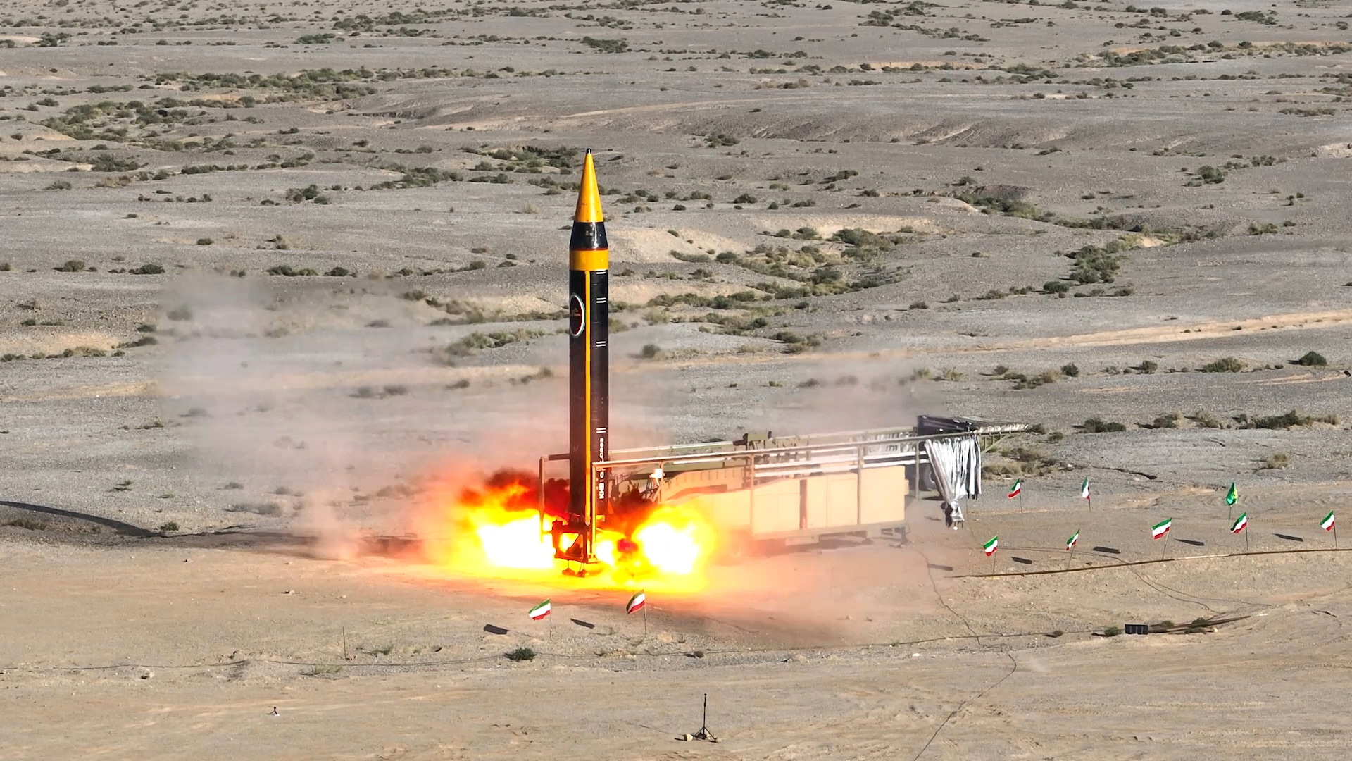
Missiles such as the Zolfaghar system previously relied on launching multiple weapons toward broad target areas in order to compensate for navigation inaccuracies.
Under BeiDou-3 guidance, these weapons could strike individual high-value targets such as underground command facilities or mobile launch vehicles with much greater precision.
A prominent example occurred on June 9 when a missile guided through BeiDou-3 navigation struck an Israeli radar station near Haifa.
The weapon reportedly landed within three metres of its intended coordinates, disabling the radar installation responsible for providing early warning coverage for surrounding air defense networks.
This increased strike precision allowed Iranian forces to conserve missile inventories while maintaining sustained pressure against Israeli defensive systems.
By reducing the number of weapons required for successful targeting, Iran extended the operational duration of its campaign while simultaneously increasing the stress placed on Israeli interceptor networks.
The 2,000 Kilometre Tactical Data Link Revolution
The most distinctive feature of the BeiDou-3 system is its Short Message Communication capability, which transforms the satellite navigation architecture into a two-way tactical communications network.
This Short Message Communication feature enables users to transmit short data packets of up to 560 bits directly through satellite links across distances reaching approximately 2,000 kilometres.
Such capability becomes particularly valuable in contested environments where conventional radio communications may be jammed or where satellite phone transmissions risk interception.
During the Twelve-Day War, this bidirectional communication function enabled Iranian command centres to maintain continuous contact with weapons systems operating deep within contested airspace.
Information gathered through Chinese surveillance satellites monitoring the battlefield environment could be relayed directly to incoming Iranian drones and missiles via the BeiDou-3 network.
When satellite sensors detected changes in Israeli force posture—such as the launch of an F-35 stealth fighter or the relocation of a Patriot missile battery—updated instruction packets could be transmitted to approaching weapons.
These data packets activated pre-programmed algorithms embedded within onboard computers that allowed weapons to modify flight behaviour dynamically.
Drones and missiles could alter their flight paths through evasive manoeuvres such as high-G turns intended to avoid interception attempts.
Weapons could also switch to low-altitude flight profiles including sea-skimming trajectories designed to exploit terrain masking and reduce radar visibility.
This combination of real-time battlefield surveillance and adaptive weapon guidance effectively created a closed-loop kill chain linking Chinese space-based sensors with Iranian strike systems.
Strategic Lessons for Future Warfare
The Twelve-Day War demonstrated how satellite navigation infrastructure has become a decisive determinant of operational success in modern high-technology warfare.
Western military doctrine developed during conflicts such as Operation Desert Storm emphasised network-centric operations heavily reliant on GPS-enabled navigation and targeting.
However, the events of June 2025 illustrated that such reliance can become a liability when adversaries deploy sophisticated electronic warfare capabilities capable of disrupting satellite navigation signals.
Iran’s integration of BeiDou-3 demonstrated an alternative operational model in which space-based surveillance, hardened positioning networks, and adaptive weapon systems combine to create resilient strike capabilities.
The conflict also highlighted China’s growing influence as a provider of alternative space infrastructure capable of empowering states seeking independence from Western technological systems.
BeiDou-3’s successful battlefield deployment may accelerate interest among other countries seeking navigation systems resistant to electronic warfare interference.
Western nations are already pursuing upgrades such as jam-resistant GPS M-Code signals, yet widespread adoption of such technologies remains incomplete.
Meanwhile, the increasing integration of BeiDou-3 with other satellite navigation architectures, including Russia’s GLONASS system, could further expand its operational influence.
For security planners in the Indo-Pacific region, the war’s lessons carry implications for potential future conflicts in areas such as the South China Sea.
States operating in these contested regions may increasingly adopt alternative satellite navigation networks capable of supporting military operations independent of Western infrastructure.
The June 2025 conflict therefore marks not merely a regional confrontation but a strategic inflection point demonstrating how control of satellite navigation systems can shape the outcome of modern warfare.
In the emerging strategic environment, dominance in space-based navigation, communication, and surveillance networks will increasingly determine the balance of power across terrestrial battlefields.