
China’s Space Edge: How Beijing Helped Pakistan Shoot Down Indian Jets With Satellite Intelligence
According to Indian military officials, Beijing provided critical assistance to Islamabad by helping reposition military satellites and recalibrate radar systems ahead of Pakistan’s successful intercepts.

(DEFENCE SECURITY ASIA) — In a revelation that has intensified concerns over shifting military-technological balances in South Asia, it is now being claimed that China played a pivotal, behind-the-scenes role in supporting Pakistan’s air defence operations that resulted in the shootdown of six Indian fighter jets earlier this month.
According to Indian military officials, Beijing provided critical assistance to Islamabad by helping reposition military satellites and recalibrate radar systems ahead of Pakistan’s successful intercepts.
The intelligence-sharing and systems alignment reportedly enabled Pakistan to maintain real-time tracking of Indian aerial assets and troop deployments across the Line of Control following the April 22 terror attack in Pahalgam, Jammu and Kashmir, which claimed the lives of 26 civilians.
The explosive allegations were made by Ashok Kumar, Director General of the Centre for Joint Warfare Studies (CENJOWS), a leading Indian defence think tank that operates under the purview of the Ministry of Defence.
“It [China] helped them [Pakistan] to redeploy their air defence radar so that any actions which we [India] do from the aerial route is known to them,” Kumar asserted in a recent statement.
Kumar suggested that China’s military advisors actively assisted Pakistan in realigning its satellite-based ISR (Intelligence, Surveillance, and Reconnaissance) architecture to ensure more robust coverage of Indian airspace, particularly in preparation for India’s large-scale retaliatory operation codenamed Sindoor.
He added that Beijing saw the confrontation not only as a strategic opportunity to back its closest regional ally but also as a live-fire environment to field-test its advanced defence technologies, particularly those involving electronic warfare and satellite-based early warning systems in mountainous terrain.
Kumar noted that some Chinese systems underperformed during the crisis, stating, “The performance of the Chinese defense systems were below average and ‘failed miserably’ in some instances,” though no specific systems were identified.
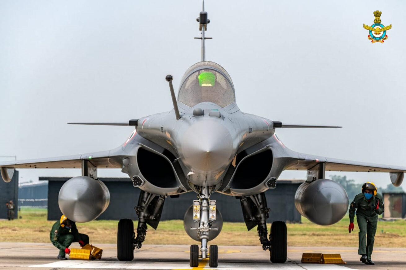
India’s government has remained officially silent on Beijing’s alleged battlefield involvement, while Pakistan continues to affirm that its air defence victories were enabled by Chinese-supplied platforms such as the JY-27A radar and LY-80 medium-range surface-to-air missile (MR-SAM) systems.
If corroborated, Kumar’s assessment indicates a more direct Chinese operational footprint—one that extended beyond equipment supply to include real-time ISR sharing and technical recalibration of Pakistan’s kill-chain infrastructure.
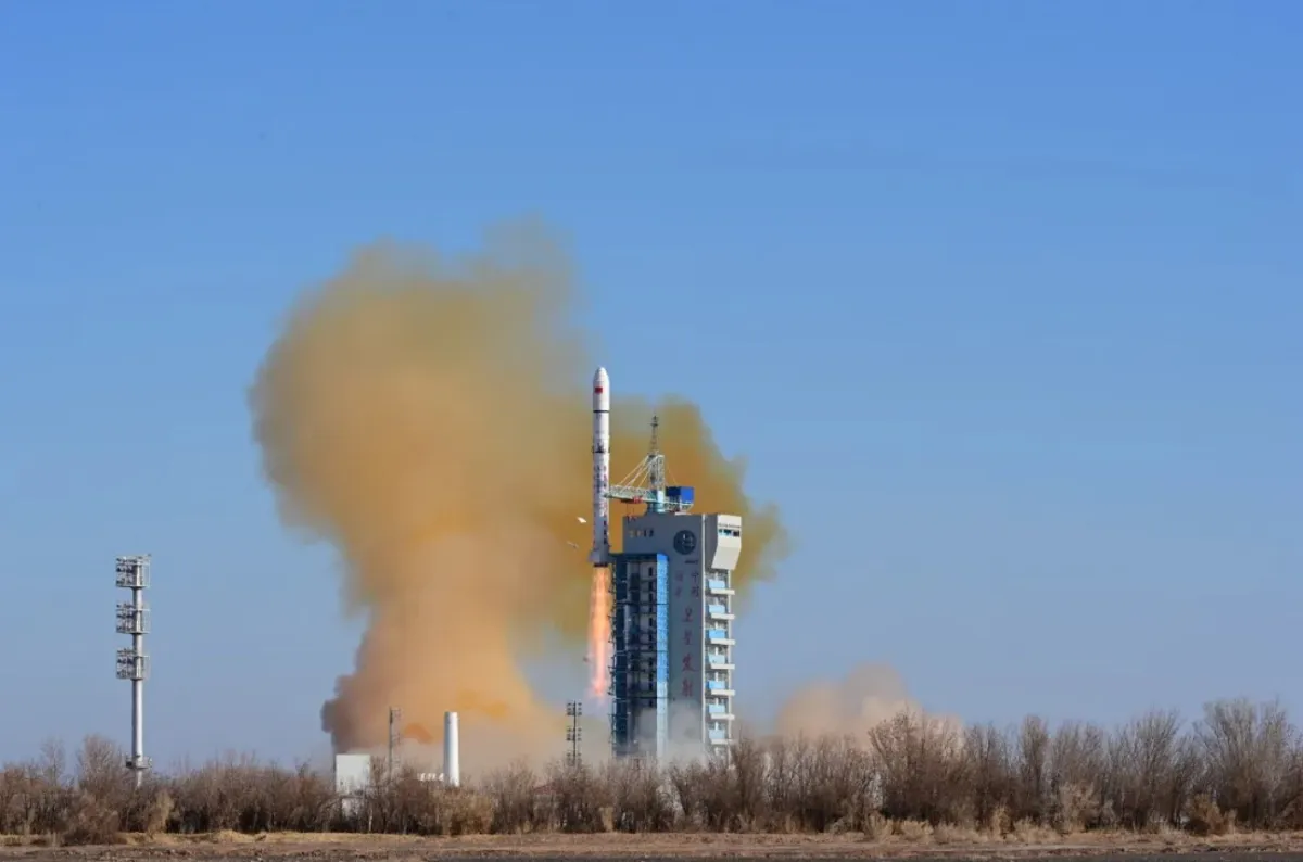
According to well-informed Indian defence sources, China’s Yaogan series of ISR satellites played a decisive role in tracking Indian aircraft and troop movements across the high-altitude frontier, offering Pakistan a surveillance edge it would otherwise not possess.
“These satellites, despite limitations in bandwidth and resolution, offered critical situational awareness that Pakistan’s indigenous capabilities could not match,” one senior Indian official familiar with the satellite coverage stated.
A separate senior source added, “We pulled all the resources (civilian and military space assets) and gave them to the armed forces. We were virtually looking at each other all the time. We had gaps, but we were much better prepared this time.”
The Yaogan series—an extensive network of optical, radar, and electronic intelligence satellites—forms the backbone of China’s military ISR capability, with coverage extending from the East China Sea to the western Himalayan front.
Particularly notable is Yaogan-41, launched in December 2023 into geostationary orbit, which reportedly played a key role in maintaining continuous watch over the Indian subcontinent, including key airbases and staging areas mobilized during Operation Sindoor.
Although officially described by China as an “environmental monitoring and disaster management” satellite, Yaogan-41 is widely assessed by Western and regional defence analysts as a dual-use asset capable of tracking mobile military targets, including aircraft and ground vehicles, across thousands of kilometres.
With Beijing now operating an estimated 5,330 satellites—spanning low Earth orbit (LEO), medium Earth orbit (MEO), and geostationary Earth orbit (GEO)—China’s space-based reconnaissance architecture has far outpaced regional rivals and is increasingly integrated into its military command and control systems.
By comparison, India maintains a relatively modest constellation of 218 satellites, the vast majority of which are civilian in nature, with only a handful designated for military applications such as communications, electronic intelligence, and earth observation.
The recent Indo-Pakistani escalation has served as a wake-up call for India’s military space planners, spurring efforts to rapidly militarize and expand space-based assets to close the widening ISR gap with China.
New Delhi has committed to deploying a dedicated network of 52 military-grade satellites by 2030 to improve real-time surveillance, secure communications, and precision targeting support across its tri-services.
However, India’s push toward strategic space dominance has not been without obstacles.
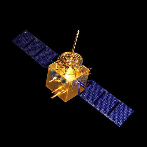
In a significant setback earlier this year, India’s GSLV Mk-2 launch vehicle failed to deliver the NVS-02 navigation satellite into its designated orbit due to onboard thruster malfunctions.
NVS-02 is the second satellite in India’s next-generation navigation series under the Navigation with Indian Constellation (NavIC) program.
NavIC (Navigation with Indian Constellation) is India’s indigenous satellite-based navigation system, developed by the Indian Space Research Organisation (ISRO) to provide precise positioning and timing services over India and a 1,500 km radius around its borders.
NVS-02 was intended to bolster the NavIC system, which provides accurate Position, Velocity, and Timing (PVT) services over India and a region extending about 1,500 km beyond its borders.
The satellite’s advanced features, including multi-band navigation payloads and improved atomic clocks, were expected to enhance the system’s accuracy and reliability.
The NVS-02 was a key part of the NavIC satellite navigation system—India’s indigenous counterpart to the U.S. GPS and China’s BeiDou systems—and was expected to enhance precision strike capabilities and autonomous navigation for the armed forces.
While the failed mission marked the Indian Space Research Organisation’s (ISRO) 100th launch, it also underscored the technological challenges that India faces in catching up with the seamless space-military integration demonstrated by China during the recent conflict.

Pakistan uses 85% of Chinese made military equipment(air defense, jets, missiles etc), and they asked for ceasefire in 3 days and could not handle India superior air defense. If their Chinese made military air defense systems was superior why did Pakistan concede and ask for a ceasefire in 3 days.